Application development is about creating computer programs to perform certain business tasks. The process is about helping businesses automate their processes and increase efficiency. Each application-building process follows the same steps: gathering requirements, designing prototypes, testing, implementing, etc. Whether it is a simple configuration to customize the application, the principle of application development applies. Inevitable Application development is part of a Geodata Scientist at some point in their career.
- Teacher: Mpho Baloyi
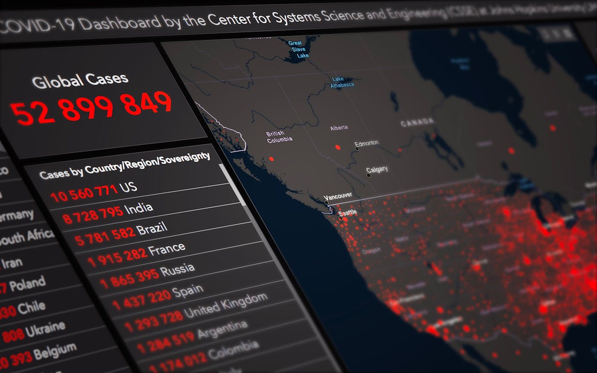
In general, Big Data Analytics is concerned with ingesting real-time data from sensors, social media feeds, or IoT systems and transforming this massive data into manageable and actionable insights. In this module, the student will use the distributed architecture to analyze and display large volumes of data, and spatial analytics tools will help reveal complex spatial patterns.
- Teacher: Michael Mutekeri

As a result of technological improvements over the previous decade, vast amounts of data have become freely available. In order to visualize patterns and trends in such huge amounts of data, some form of cognitive advanced analytics is required. Artificial Intelligence (AI), Machine Learning, and Deep Learning are used to make intelligent decisions in a variety of domains, including health, agriculture, geography, and others.
The student will learn how to understand and use geographic artificial intelligence tools for classifying objects in pictures, as well as clustering methods for identifying patterns. The student will learn how to visualize, comprehend, and obtain insights from data and anomalies that would otherwise be hidden.
- Teacher: Michael Mutekeri
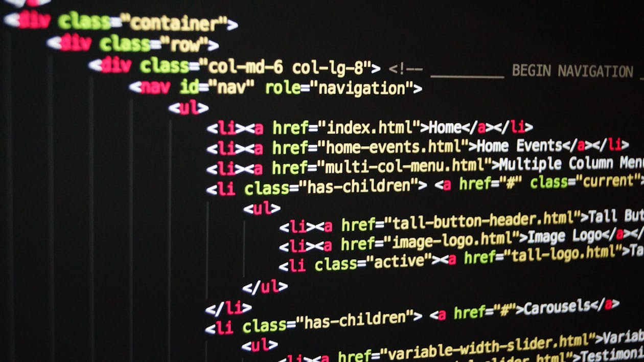
Computers in nowadays have become one of the most important tools that we use for the betterment of
our daily tasks. However, there are languages used in which information and instructions can be
communicated to a computer in order for it to perform specific tasks. These sets of instructions are
given through a process of writing codes called programming. This module introduces the application of
programming languages being Python and R in the field of Geospatial Intelligence.
- Teacher: Michael Mutekeri
Virtual reality is a fully immersive computer simulation that provides a person the sensation of
being in a different world than the one they are currently in. Virtual reality may be used for a
variety of reasons, including training simulations for army pilots and doctors. When digital
information is superimposed on the real world, it is referred to as augmented reality. Virtual
reality (VR) concepts and techniques are now available for the production of simulated or
virtual worlds. A virtual world or virtual geography is the production of artificial geographies for
use in study and education using VR ideas and technology. Many websites are currently
developing and utilizing virtual geographies. Many sites are developing and using virtual
geographies right now, and they have virtual geographies
- Teacher: Mpho Baloyi